
For current information and availability, click ‘What’s on Now’ (above).
Farm Access:
We do not charge admission, but if you want to venture beyond the buildings to explore the farm (in designated areas), you’ll need to purchase a Farm & Trail Access pass
Trail Information:
-
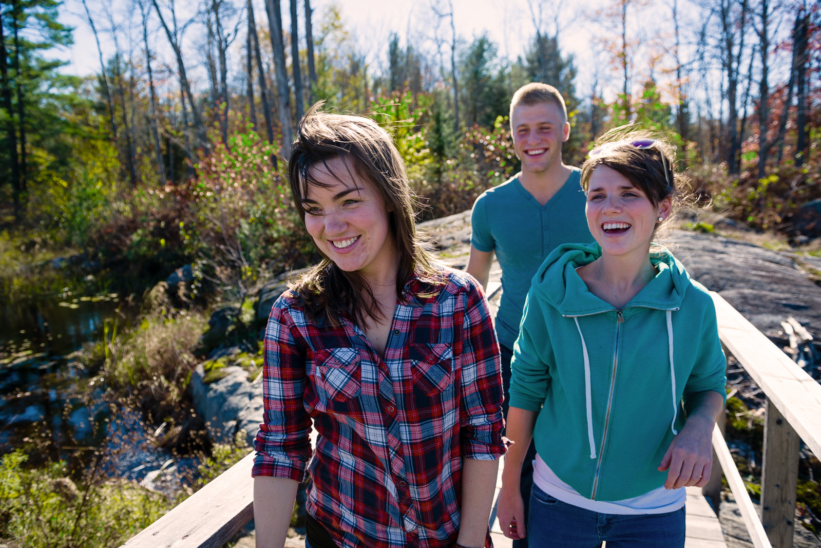
- Hiking Allowed
-

- Leashed Pets Allowed

- Open from spring melt to first snows
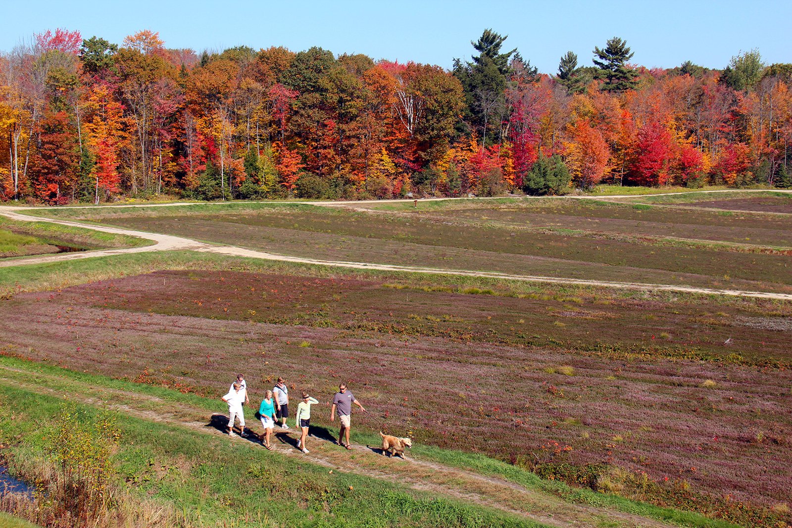
- Over 10 km of awesome!
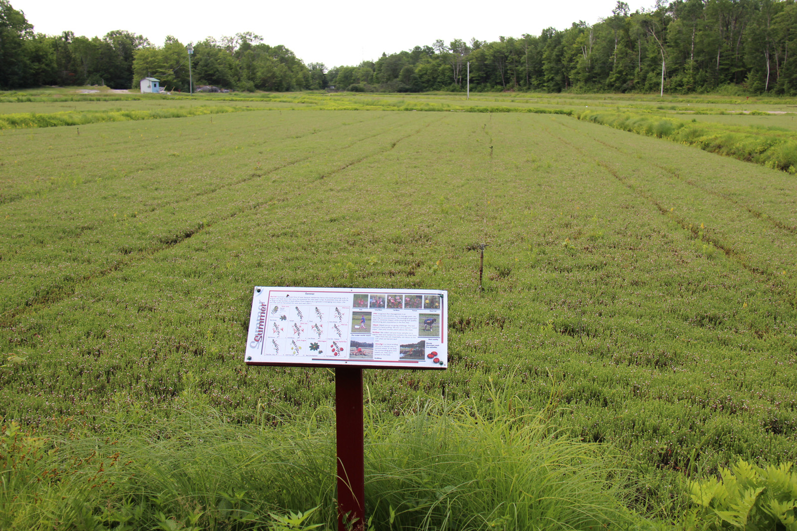
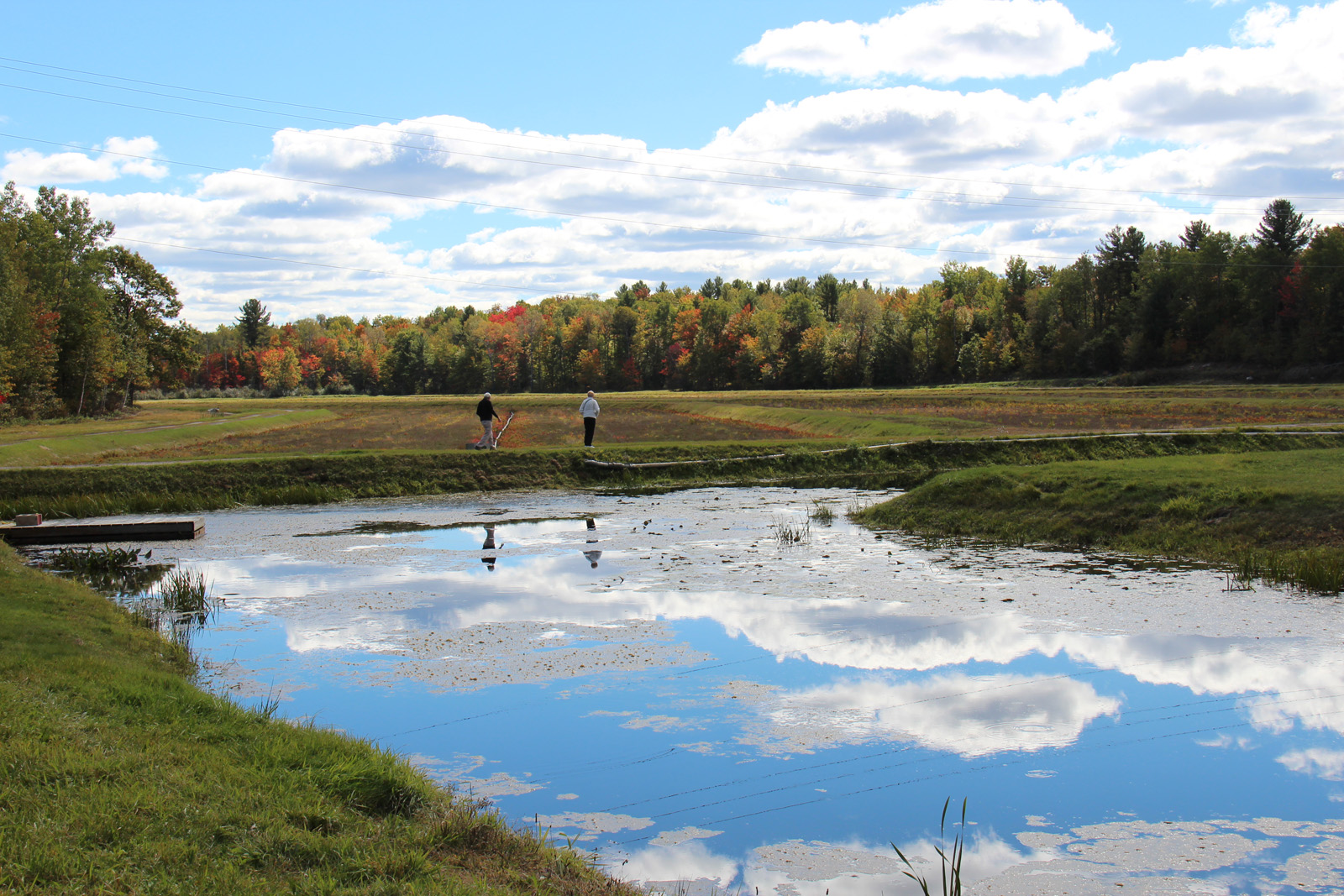
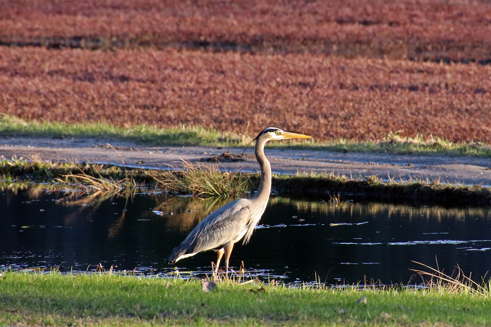
- 27 acres of cranberries
- THREE self-guided tours
- THREE geocaches
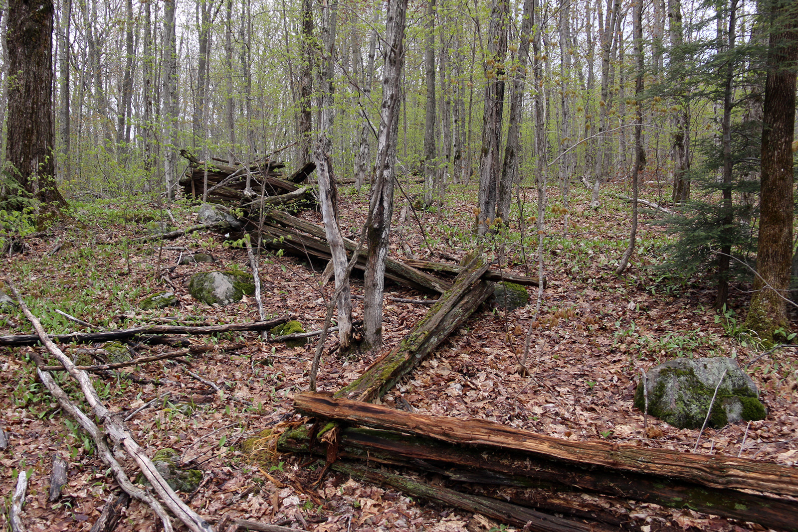
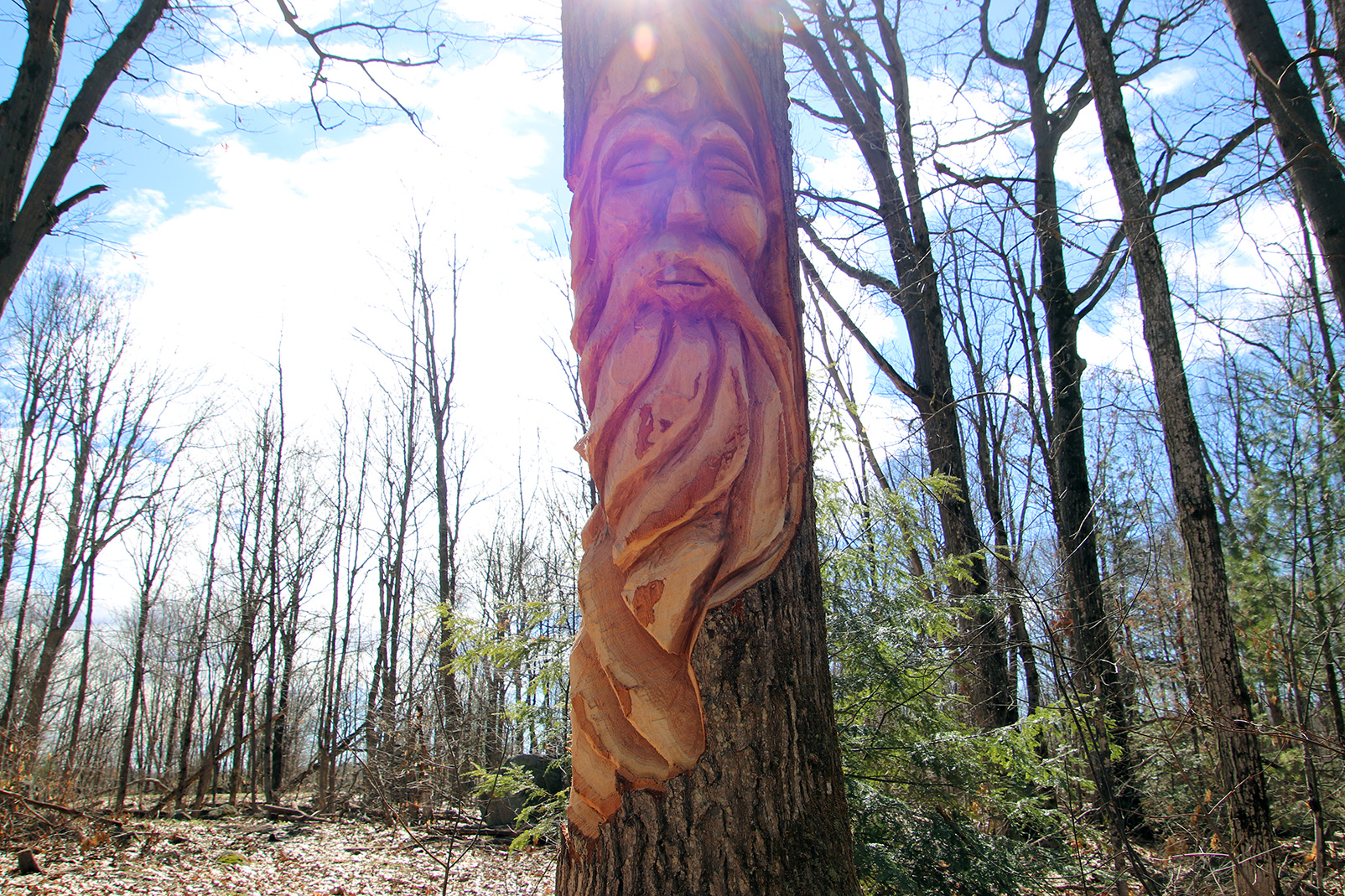
- Blueberry Hill, Bog Monster, tree carvings, sugar bush, ponds, waterways, picnic areas, scenic views
- trail map
Cost:
- $5/pp
- Passes are non-transferable and non-refundable
Trail Descriptions:
CRANBERRY TRAIL
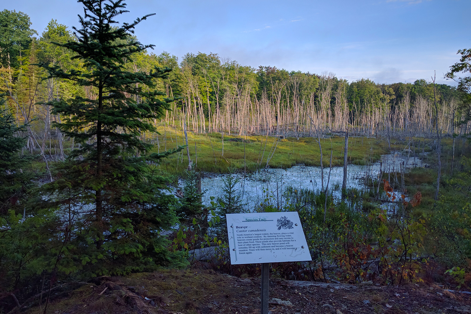
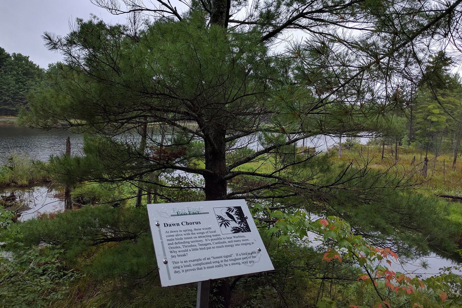
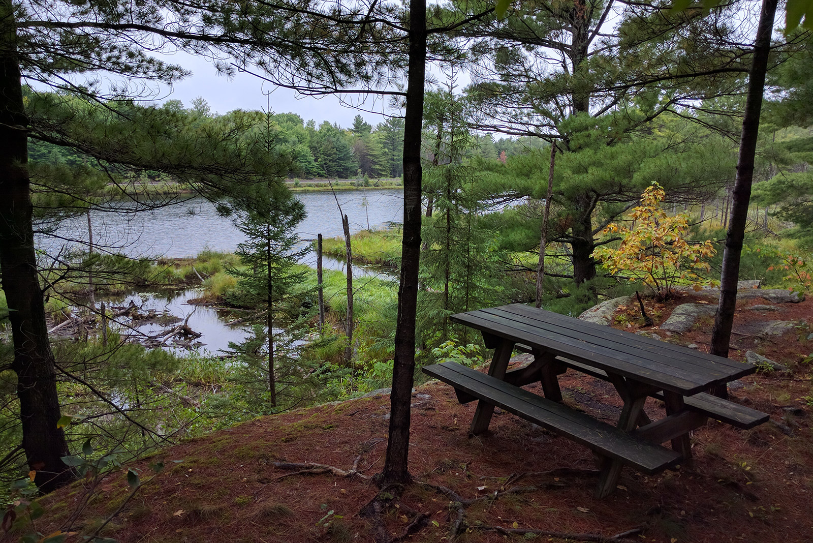
ORVILLE LAKE NATURE TRAIL
- 2.5 km, Moderate
- Eco Tour – 25 signs explaining unique ecological features
- Hidden pictographs
- Picnic site on scenic outlook
- Orville Lake Geocache co-ordinates: N 45° 03.002 W 079° 38.450
SANDSMEN TRAIL

- 1.2 km, Easy
- Walk around the cranberry beds Orville Johnston planted in the 1960’s while playing with The Sandsmen
- check out the Bog Monster
- Stroller friendly (gravel surface)
MEDORA CREEK TRAIL
- 3.1 km, Moderate
- Planted with our early ripening varieties
- Cranberry Bog side trail to wild cranberries & iWetlands research site
PIONEER TRAIL
- 2 km, Advanced
- Trillium garden, tree carvings, historic homestead fence
- Picnic sites at Bourneman’s pond by a waterfall and at Table Rock
- Bourneman’s Pond Geocache co-ordinates: N 45° 03.449 W 079° 38.776
SUPERBERRY TRAIL
- 7.5 km, Advanced
- Combine four trails for a beautiful, long hike in a single loop
Other Trails & Info:
-

- Ice Trail Info
-
- Snowshoe Trail Info
-
- Trail Map
-
- Local Weather
Things to Try While You’re Here:
- Bog To Bottle Discovery (guided tour & tutored wine tasting – a Canadian Signature Experience!)
- Savour Wine & Cheese on the scenic patio
- Shop in our locally inspired Wine and Cuisine store